“Do you know anything about the Kobble Creek campsites?” Eric asked me early in the week.
“No, but that sounds like a great idea for a ride!” I replied.

We decided to do a “point to point” ride starting at the bottom of the Goat Track, riding up to Mount Glorious, then finishing at Kobble Creek at the end of the Lepidozamia track, where we had left a couple of vehicles before starting off.
To reduce our time on the paved road, we took a short detour along Hammermeister Road at Mount Nebo.
Although it only added an extra few hundred metres, the track was much steeper than the main road. It’s extra work, but we love these sorts of tracks!
We enjoyed the final descent at the end of “The Hammer” which spat us back out onto the bitumen a little further up the mountain.
Halfway to Mount Glorious we took a quick break at Westridge Outlook – a lookout which offers some impressive views to the west.
There was no need to rush today. It’s always worth taking a bit longer to enjoy beautiful places like D’Aguilar National Park, and we did.
We stopped for morning tea at the Mount Glorious Cafe. This place is popular with motor cyclists riding the twisty road over the top of the mountain. Their huge machines dwarfed our bikes. I still wouldn’t swap my mountain bike for a Harley 🙂
We followed the tarmac for a few more kilometres through the mountain top forests towards the highest point in the range, Mount Tension Woods, and the entry to the Lepidozamia Track.
I’ve ridden “The Lep” with friends a few times, and loved it every time.
From its starting point in the mountain top rainforest, all the way to Kobble Creek at the bottom, this steep track is a hoot to ride.
On the way down, we stopped a few times to admire the view to the south-east. We could see all the way out to Moreton Bay, and could just make out the “giraffe” cranes at the Port or Brisbane.
A little further along, a moss-eaten sign warned “Road Untrafficable. Proceed at own risk”.
Although the track started out reasonably steep, the gradient grew even more acute as we progressed further down the hill.
All the fire breaks in the forest have been recently graded. They’re smoother than I remember them. Signposts have been added at every intersection. There are tracks going everywhere. We all agreed we should return. One trip wasn’t going to be enough for this place.
Rather than roll all the way down, we decided to take a detour along “Middle Kobble Break”.
This is one of the steepest tracks I’ve ridden down – except perhaps Palen Creek State Forest. The descent went for ages. It was too steep to stop. If I pulled on the brakes too hard, I’d skid and fall off. If I didn’t hold the brakes enough, I’d quickly accelerate and crash. I let the wheels roll, kept my backside as far back as possible, and kept muttering to myself “If you concentrate, you’ll survive”.
Peter and I survived.
When we reached the bottom of that long descent we realized none of the others had been silly enough to follow us.
But we were able to answer Eric’s original question. Yes, Eric, there’s a bush camp at the bottom of this hill. It’s beautiful with plenty of space for half a dozen tents. But unfortunately there’s no way you’d safely get a bike down after it had been laden with overnight gear. And then there was the question of getting back up the hill.
While Peter and I contemplated the long climb back out, we signed the log book and enjoyed the quiet creek.
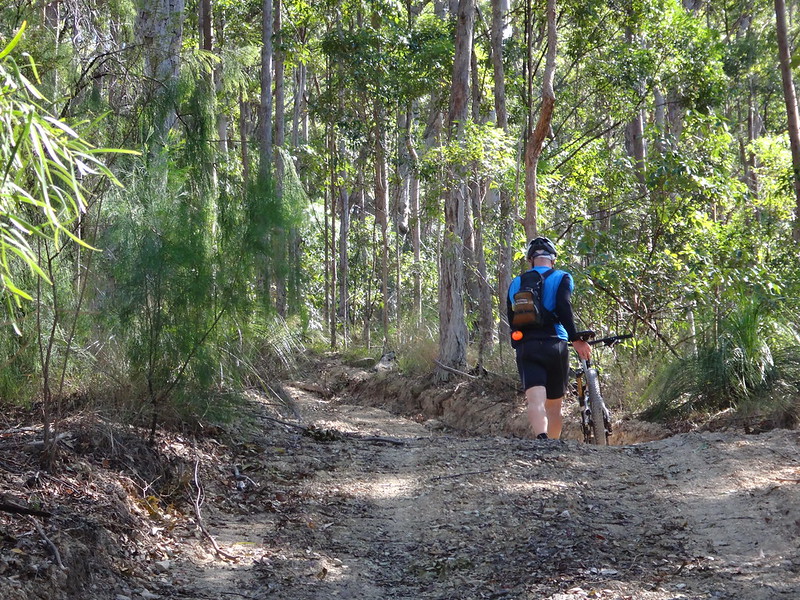
It was way too steep to ride. We had to push the bikes up the hill.
I found it hard to push the bike. I managed by shoving it forward, grabbing the brakes, pulling myself up, then repeating the process.
Peter took pity on me, laid down his bike, and came back to help me. Thanks Peter!
Up. Up. Up!
Meanwhile at the top, everyone was enjoying a leisurely lunch.
We eventually joined them and relaxed by the side of the road for half an hour.
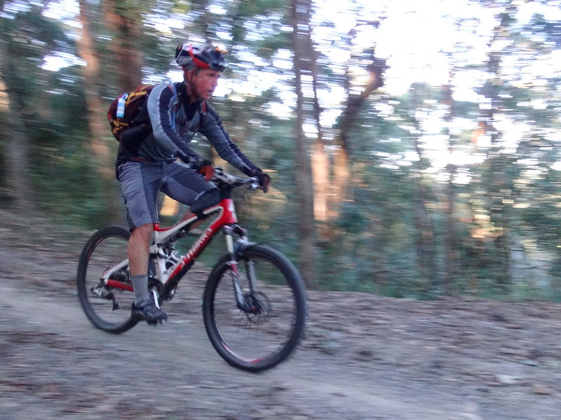
Half an hour later we were all skidding down “North Kobble Break”.
Life coaches talk about the experience of “being in the moment”. That’s what it’s like to try to safely negotiate a bike down a steep sketchy hill. You don’t get a chance to think about other things – it’s enjoyable, but it completely absorbs all your senses. Nothing else matters.
Towards the bottom of the descent, the track flattened out as we started crossing rocky creek beds.
We crossed the North Branch of Kobble Creek many times. Despite the dry weather clear water flowed in the upper reaches of the creek.
We were able to easily ride most creek crossings, but we decided to play it safe on this rocky crossing.
After a few more bumpy crossings we reached “North Kobble Bush Camp”.
This delightful camp site has room for about half a dozen tents.
It’s not far from a creek crossing, but I noticed the crossing was dry, and made a mental note that if we ever camped here in future we’d probably need to ride about 500 metres upstream to find flowing water.
I couldn’t help it. The logs looked like cars from “The Flintstones”, so Peter agreed to be “Fred” for me.
Getting out of the forest and onto the road had been a problem for us in the past. In previous years the track had not been well-marked, and we had accidentally strayed onto private property.
Today that was not the case. The track had been clearly marked. We followed it through a creek-side paddock.
Our final creek crossing was through a dry creek bed.
Simon and I had ridden this five years earlier while it was in flood. It was a stark contrast between the dry rocky bed today, and the raging torrent of 2010.
We’d made it down the mountain, now all that was left of our adventure was to follow quiet roads along the creek.
After a short sharp climb up Hawkins Road, we enjoyed an easy roll back to the cars.
We rode about 40 kilometres in about six hours including a couple of long breaks.
We climbed almost 1,500 metres in vertical ascent, and I burned about 3,000 kcal.
I’ll rate this one 7 out of 10 on the tough-o-meter – that’s assuming you don’t go down Middle Kobble Break then try to climb back out. Middle Kobble is too steep to ride safely on a bike, avoid it.
Thanks Becca, Eric, Paul, Jason, Simon, Jason and Peter for another fun ride!
Total climbing: 1588 m
Average temperature: 15.9
Total time: 05:53:50
More data


Do we change the name of this ride One Week Pre Fractured Clavicle!! All the best with repair & recovery.
Thanks Ian 🙂
What a beautiful place for a ride. I think D’Aguilar NP is one of my favourite national parks in Australia. Thanks for sharing Neil.
Thanks Tom. D’Aguilar is really special from a global perspective too: It stretches right down to Mount Coot-tha, which is only 6km from the GPO. I don’t think there are any other capital cities in the world with such a large national park so close to a capital city.